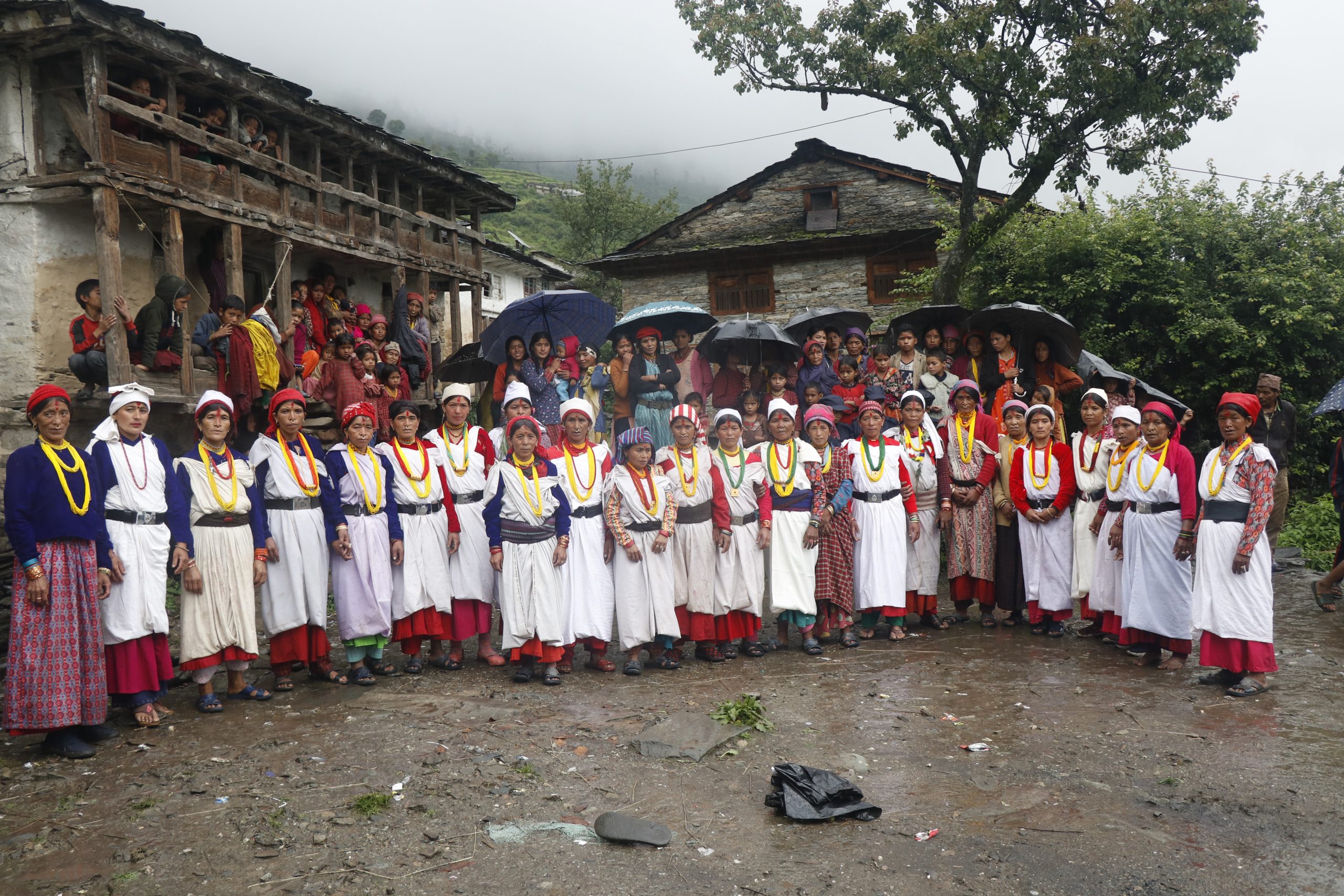
The main objective is to assist the RM in the formulation process of the disaster risk management plan and its operational mechanism. This program is organized in collaboration with Tribhuvan University of Applied Sciences and Nature Research Center to get technical and thematic support to provide necessary support for risk reduction. Sahara Nepal Bajhang coordinated with RECAST and RM before going to the field to collect data on the disaster situation of Masta Rural Municipality. From the last week of August to the second week of August, I visited the disaster-prone areas all ward of Masta RM. In the course of data collection, disasters such as floods, landslides, erosion, drought, snowfall, attacks by wild animals, damage caused by river and river erosion, fire, and deforestation were observed and mapped. The unplanned construction of roads in the villages has put the slum areas as well as paddy fields at great risk. Urgent action is needed to save disaster affected areas.
Support was taken from governmental and non-governmental organizations. During this period, online and offline data was collected by Organic Maps and IHeritage apps which will further assist in the construction of the municipality’s risk map as well as the identification of the main attraction centers of the municipality and especially the disaster risk areas of the municipality. The data related to the disaster affected areas will help in the formulation of policies and action plans as per the need and in the implementation of such policies. Therefore, we organized a one-day orientation program to train local level officials and staff, Palka level staff and people’s representatives on technical tools related to data collection and mapping, and identified the disaster risk areas of Masta Rural Municipality. There is a goal to build this plan with a strategy to move forward according to the need, including the creation of a strategic plan for the disaster risk management of Masta Rural Municipality.